Estudios
Geospatial
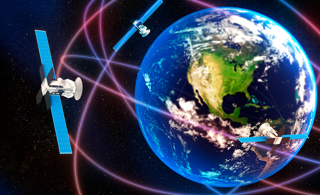
Geospatial Sciences help shape every aspect of the world.

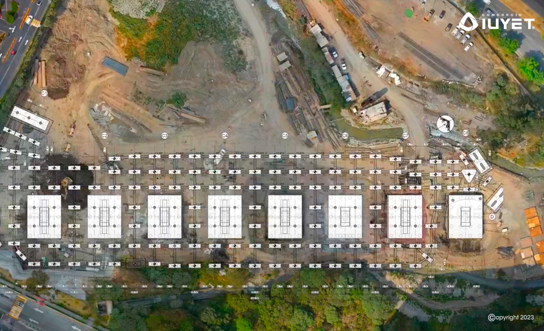
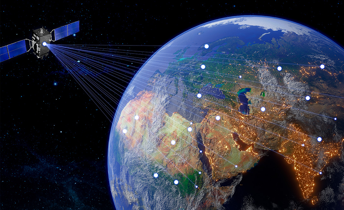
Geospatial data becomes useful and powerful information for engineering studies and projects.
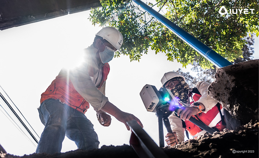
Geospatial data is collected, analyzed and modeled in terms of a particular location, mapped or represented in a simple and meaningful way, becoming useful and powerful information for engineering studies and projects, including how it relates to the surrounding environment and changes over time.


