Services
Geodesy
We generate GNSS positioning networks to achieve maximum precision in infrastructure projects

Geodesy
Maximum precision in infrastructure projects.
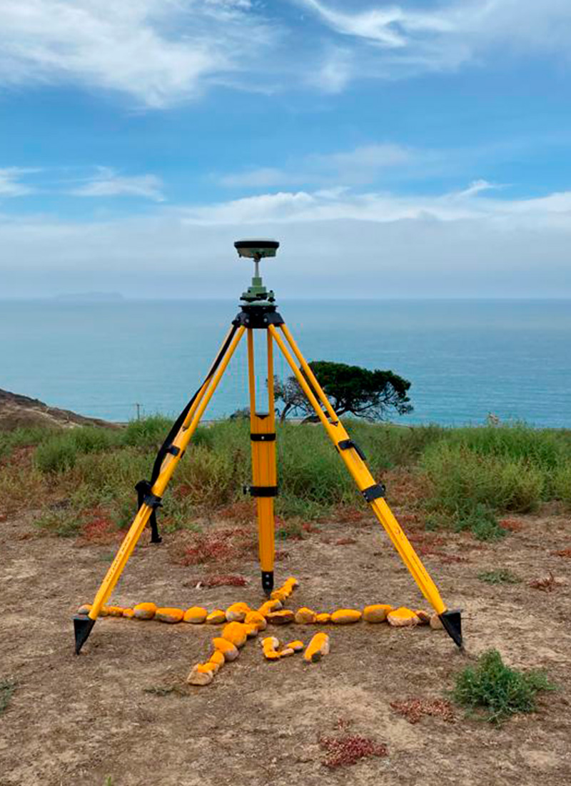
In order to have geodetic and topographic control in our projects, we generate positioning networks through the Global Navigation Satellite System (GNSS).
We have worldwide coverage through the HxGN SmartNet Global.