Services
Photogrammetry
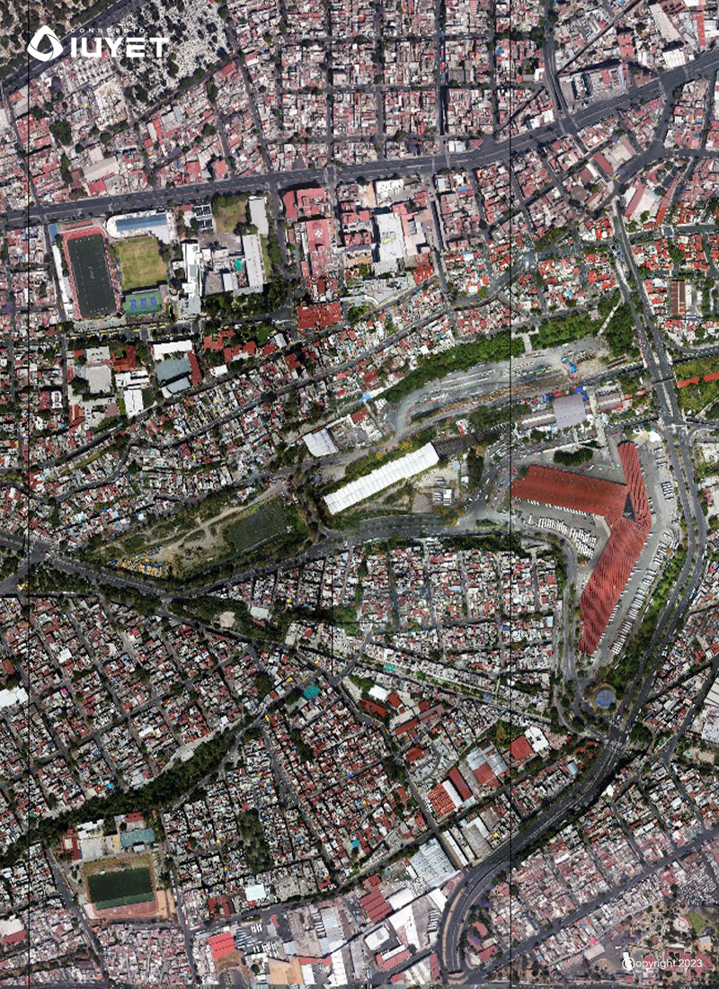
We use UAV technology and certified pilots to capture geo-referenced aerial photographs and complement BIM or GIS models in infrastructure projects

Photogrammetry
We capture digital aerial photographs orthorectified and georeferenced to the established geodetic network.
We carry out photogrammetry work using UAV (Unattended Aerial Vehicle) technology and qualified pilots who comply with official regulations.
We use photogrammetry to complement BIM or GIS models as well as to monitor the progress of the works.