Services
High Resolution Topography
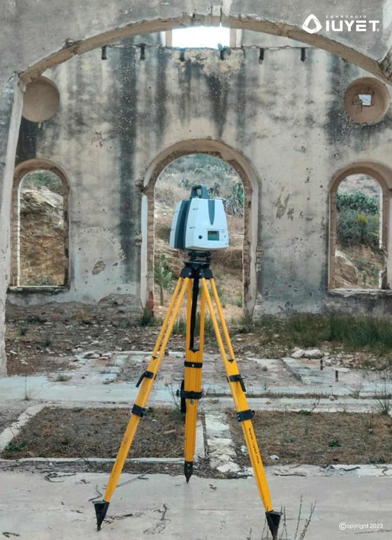
We generate accurate BIM models of urban environments using 3D terrestrial digital laser scanning equipment, capable of capturing up to 2 million points per second.

High Resolution Topography
Our reality capture solutions visualise the urban environment to generate accurate and precise BIM models.
With Leica Geosystems™ digital terrestrial 3D laser scanners, with a capacity to capture up to 2 million points per second and advanced HDR imaging for colour 3D point cloud creation, we generate crisp, high-quality scans ready for integration into the Building Information Modelling (BIM) methodology.