Geoespacial
Airborne Lidar
We have the technology of airborne sensors to capture reality and generate digital cartography.
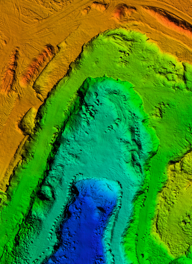
Airborne Lidar
With Lidar technology, the surface of the terrain is scanned and accurate and detailed information is obtained, including the topography of different obstacles present on the terrain such as trees, buildings, antennas and power lines. Unlike photogrammetry, the laser can penetrate obstacles and obtain DTM and DSM.
Services
![]() Studies
Studies
![]() Geospatial
Geospatial
![]() Airborne Lidar
Airborne Lidar
Copyright © 2026 Consorcio IUYET. All rights reserved