Services
Manned Aircraft
We have airborne LiDAR systems for digital mapping of manned aircraft flights in infrastructure projects

Manned Aircraft
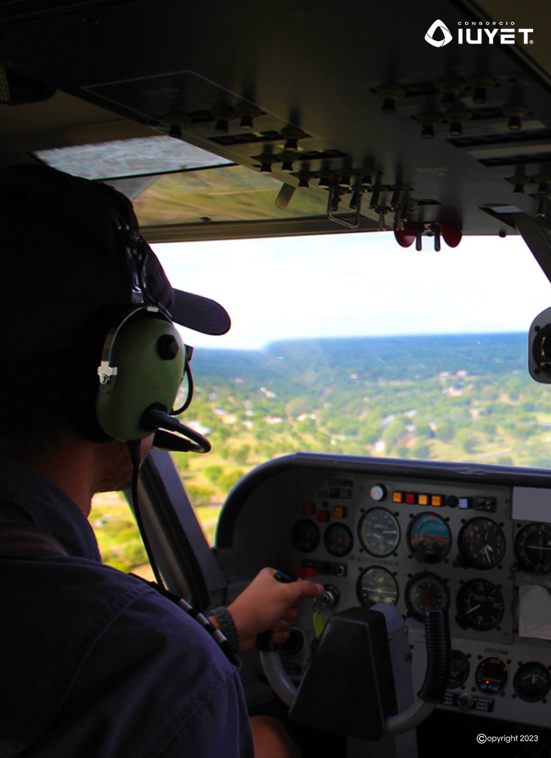
Consorcio IUYET performs flights with manned aircraft equipped with airborne LiDAR (Light Detection And Ranging) systems with which digital cartography is obtained.
We have participated in large infrastructure projects such as the New Mexico City International Airport and the Mayan Train where we generate DTMs (Digital Terrain Models), DEMs (Digital Elevation Models), contour lines and georeferenced digital orthophotos.