Projects
New Mexico International Airport Geodetic Network
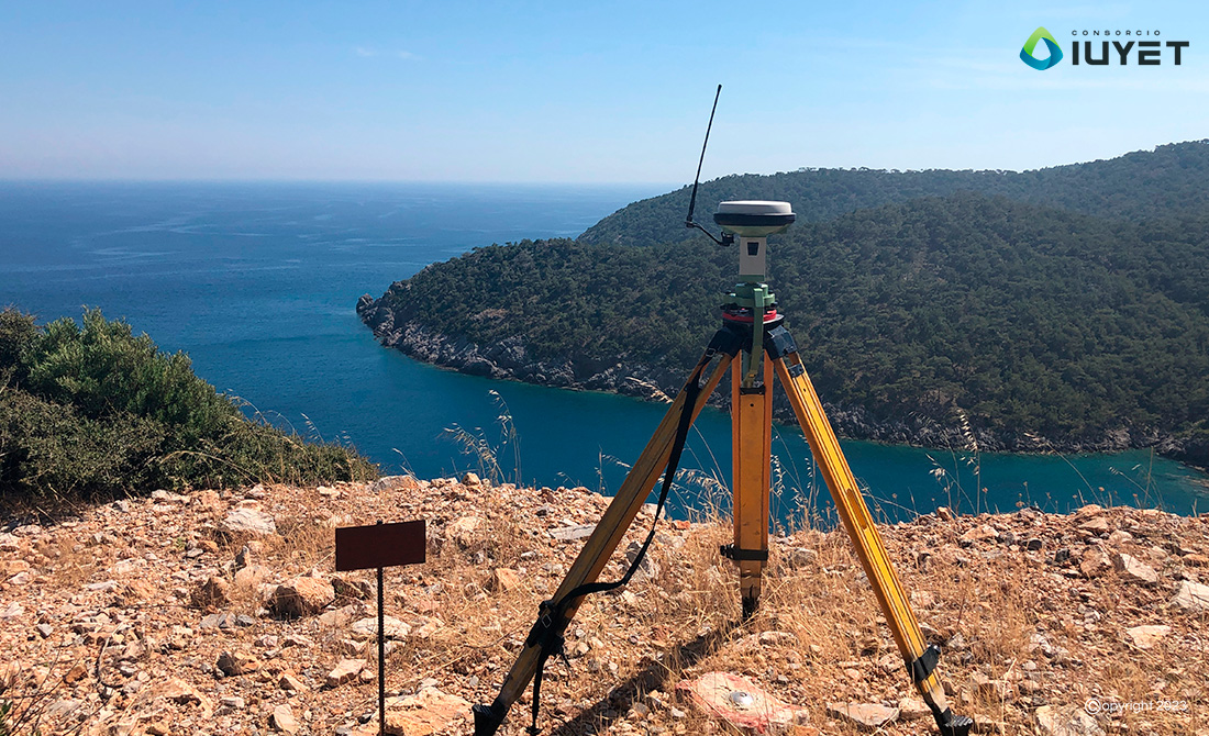
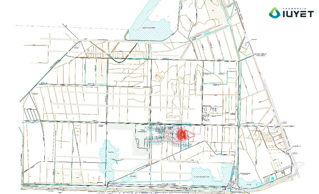
Design of a geodetic network to control works at the new airport, using dual-frequency GNSS receivers and linking to INEGI's active national geodetic network.
New Mexico International Airport Geodetic Network
Design and materialisation of the geodetic network for the establishment of a local reference framework to control the various works at the new airport. Dual-frequency GNSS receivers were used and the measurement method was static, with two-hour measurement campaigns and linking to INEGI's active national geodetic network.

Copyright © 2024 Consorcio IUYET. All rights reserved