Projects
High resolution topographic survey NAIM
High-resolution topographic survey for the NAIM to identify regional subsidence and settlement induced by the weight of the works.
High resolution 3D topographic survey of the entire site for subsidence monitoring and control of NAIM ground reference points
High resolution topographic study for the identification of regional subsidence and settlements induced by the weight of the works, through the application of a unified coordinate system to keep a single control of the UTM and topographic coordinates of all the works being carried out for the NAIM.
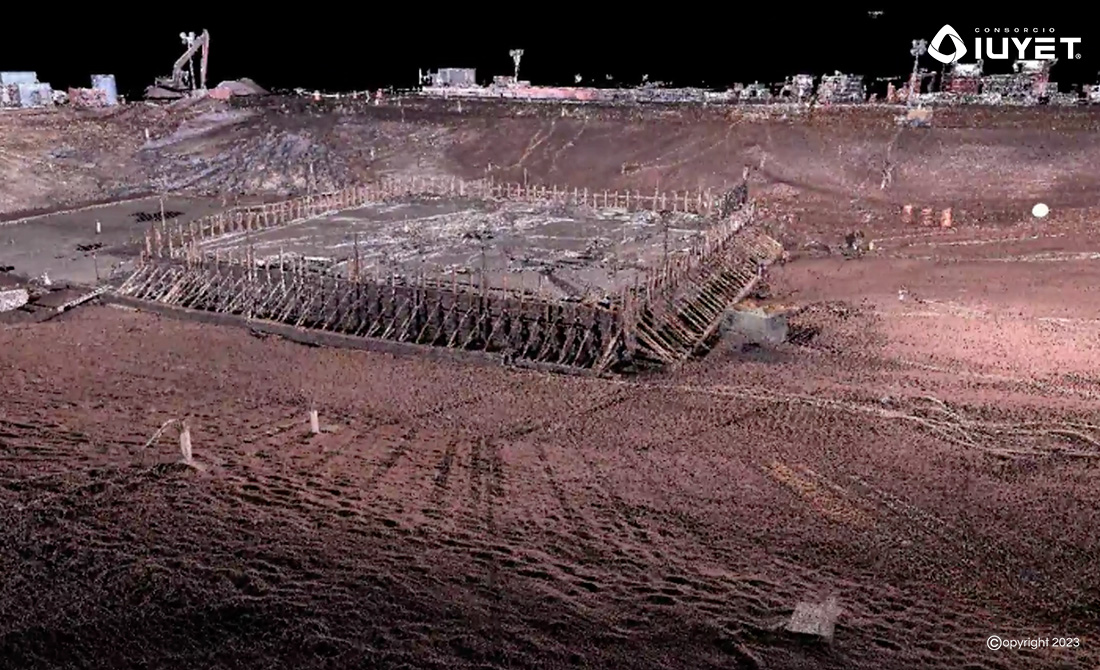
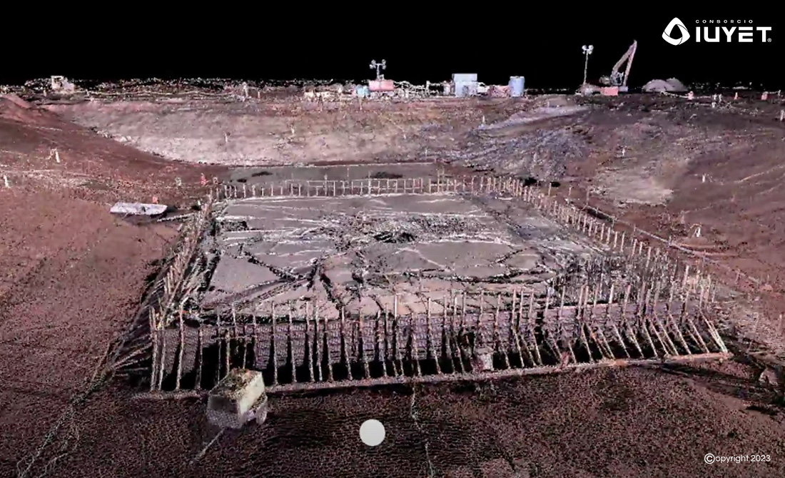
Full site topographic and geomatics engineering studies for subsidence monitoring and control of NAIM ground reference points

The study will interpret regional subsidence due to pumping, loading and displacement of structures, soil preloading and construction procedures, determining the rate of subsidence within the NAIM site.
Copyright © 2026 Consorcio IUYET. All rights reserved