Services
Unattended Aerial Vehicle
Reality capture and mapping with Drones
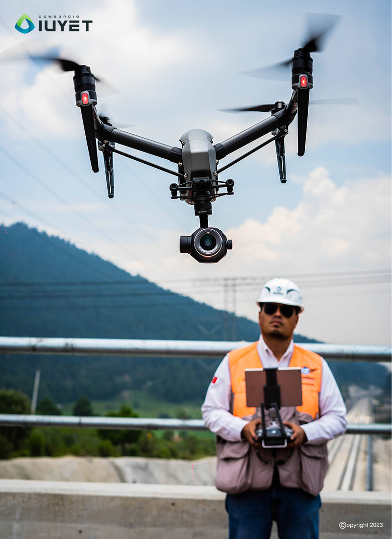
Reality capture and mapping with Drones
We have autonomous aerial vehicles equipped with Lidar sensors and artificial intelligence (AI) for digital mapping. They are used for infrastructure projects and BIM models, in places of difficult access such as ravines, swamps, etc.
Copyright © 2026 Consorcio IUYET. All rights reserved