Services
Archaeological Study
Identificamos cruces de proyectos con zonas patrimoniales y leyes aplicables, siguiendo recomendaciones de autoridades competentes.
Archaeological Study
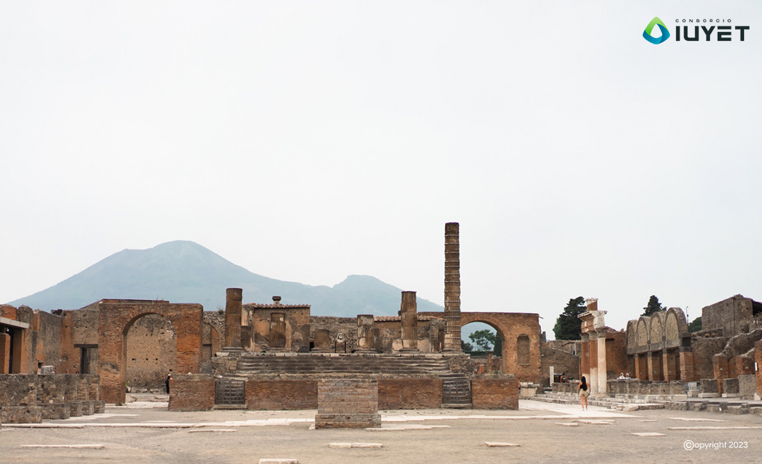
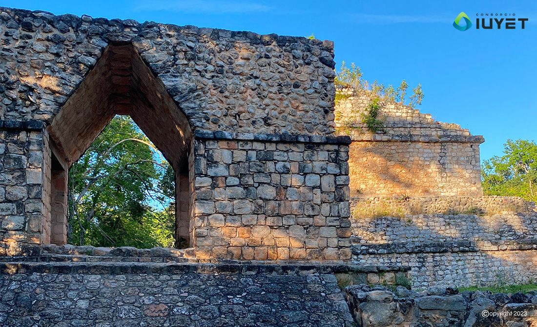
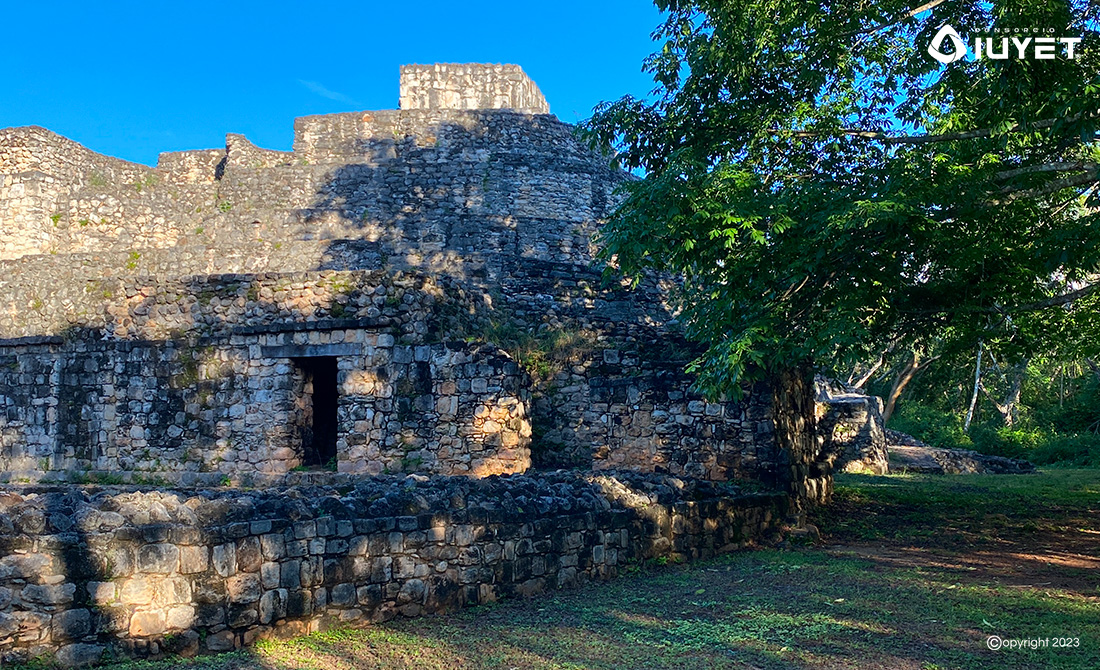
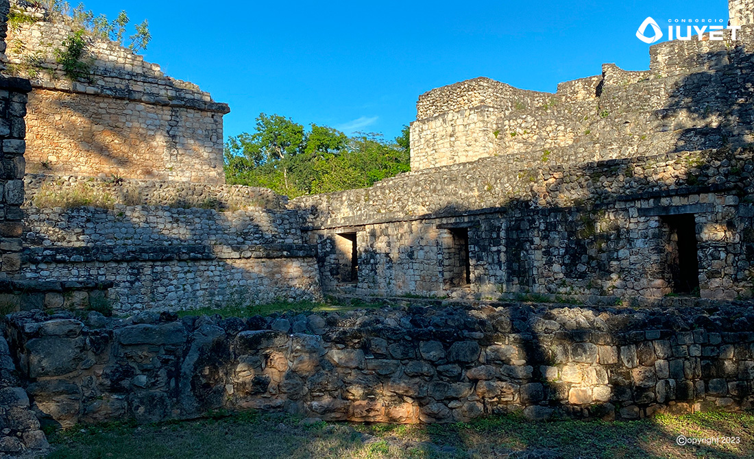
We determine and identify the intersections of projects and works with archaeological, artistic and historical areas of catalogued heritage value, their nature, location, legal provisions, including the recommendations of the institutions that are authorities on the matter.
We carry out the documentary and cartographic search and discovery of structures with archaeological and historical potential by means of remote sensing such as LíDAR flights for places of difficult access or with abundant vegetation, Ground Penetrating Radar (GPR) that allows us to reliably and accurately identify the presence or absence of archaeological remains in different surface contexts and high resolution 3D terrestrial digital laser scanning (HDS) in the field of restoration, conservation and research.
We obtain information by means of surface reconnaissance and prospecting of those sites along the route that the institutions that are authorities in the field consider to be of archaeological, artistic or historical interest in order to take them into account in the preparation of executive projects and to comply with the preservation of cultural heritage.
Copyright © 2026 Consorcio IUYET. All rights reserved