Technological Innovations
Light Detection and Ranging
Light Detection and Ranging
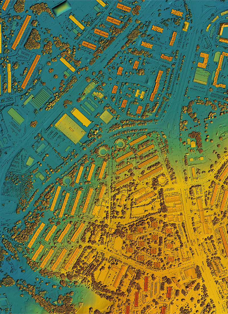
Technology used in geospatial measurement for the detection of a surface by means of laser imaging
LiDAR can penetrate dense vegetation and capture the state of a surface with high accuracy by sending a laser beam from a device, usually mounted on a plane, light aircraft, helicopter, drone or even any object or surface, to obtain topographic data for mapping and terrain modelling.
Copyright © 2026 Consorcio IUYET. All rights reserved